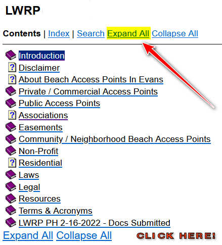
 LWRP HELP
This is not a help page in the true sense but an explanation of the acronym.
LWRP stands for Local Waterfront Revitalization Program.
It is the part of the Town of Evans Master Plan that is specific to the waterfront.
It’s purpose is to improve water quality and natural areas, guide development to areas with adequate infrastructure and services away from sensitive resources, promote public waterfront access, and provide for redevelopment of underutilized waterfronts.
For example, if you wanted the Town of Evans to promote and develop areas for non-power watercraft, this concept would need to be included in the LWRP.
The LWRP and changes to the LWRP must be approved by the state legislature.
 One long running battle in the Town of Evans is over access to the waterfront. Being a USA boundary, the Army Corp of Engineers has jurisdiction over the first six (6) feet of the town’s shoreline. All residents have a legal right to walk along the shoreline. No property owner, even those that claim they own to the water edge, can legally exclude the public’s right to waterfront access.
The TownOfEvans.com and Great Lakes Beach Sweep have documented all the public and private waterfront access points from Evangola State Park to 18 Mile Creek. (Over 12 Miles!) The online document includes pictures of the access points and the associated point on the town’s tax map.
RESOURCES
Click Here! to view the Town of Evans waterfront access points.


